Home / Blog / How to make a countries visited map
GuidesHow to Make a Map of the Countries You’ve Visited
A world map with every country you have been to marked, ready to print and frame. Here is how to make one in a few minutes, and how to make it look good on the wall.
Make my travel mapInstant download, €12.99.
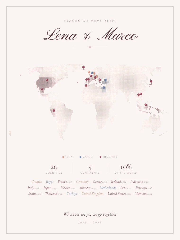
There are three common ways to keep a map of the countries you have visited: a scratch-off map, a push pin map on a cork board, or a printed map you design yourself. The first two are fun to use but hard to frame nicely. A designed print looks like wall art and can show more: the year of each trip, who went, or the flags.
Step 1: list the countries you’ve been to
Write them down first, with the year of each trip if you remember it. Decide your own rule: some people count airport layovers, most people count a country only if they left the airport. Territories like Puerto Rico or Greenland can count on their own.
Step 2: choose how to mark them
In the travel map editor you can fill each country with color, put a pin on it, or both. Pins work well for small countries, which are hard to see when colored: Malta, Singapore or the Maldives get a pin or a dot so they stay visible.
Step 3: pick a map style
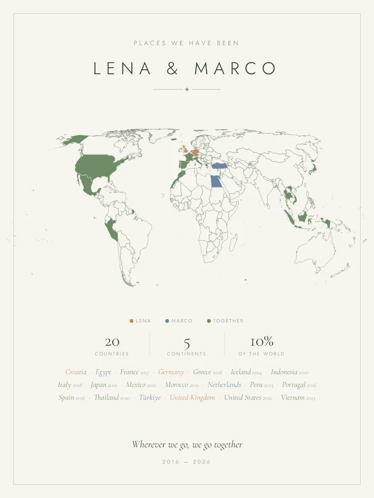
A dotted world map looks modern and light; a solid map is the classic; a fine line map is the most minimal. Choose the colors of the room where it will hang: blush and wine, gold on midnight blue, sage, or black and white.
Step 4: map, flags or both
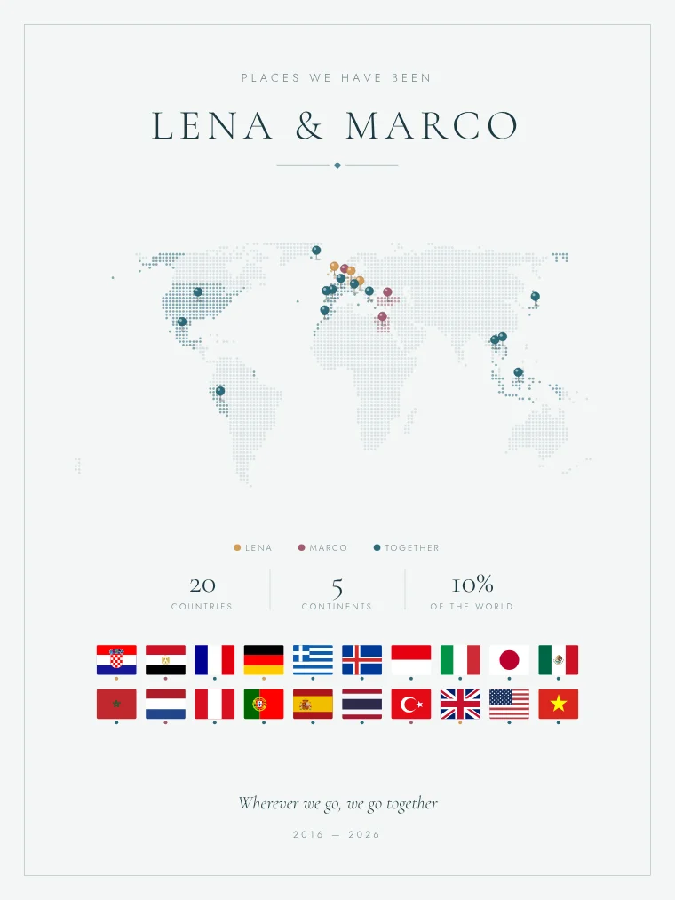
If you have visited many countries, consider a map with flags: the flags of every country, with the name and the year, under the map or on their own. Round, square, heart-shaped or waving.
Step 5: add the words
Your name, or both names for a couple; a line such as “Places we’ve been”; and the years from the first trip to the last. The print adds the number of countries, continents and the share of the world automatically.
Step 6: print and frame it
Download the file at 300 dpi and print it at home, at a copy shop or with an online print service, on matte paper of 200 g/m² or more. Common sizes are 8 × 10, 11 × 14 and 18 × 24 in, or A4 to 50 × 70 cm.
The preview is free: mark your countries and see the print change as you go.
Open the travel map editorHow many countries are there?
The UN has 193 member states and two observer states. Travel lists often count more, because territories such as Hong Kong, Puerto Rico or Greenland feel like separate destinations. Our map lets you mark over 230 countries and territories.