Stelar Map Studio / Travel map
Countries visited map: your personalized travel map print
Mark every country you’ve been to and turn it into wall art: a dotted world map with pins, a collection of flags, or both. Add your names, the year of each trip and your own colors, and download your travel map print straight away.
Design my travel map Or map the US states you’ve visitedDigital file €12.99. Instant download.
🎄 Instant download: ready in time for Christmas, even on December 24.
- Instant downloadYour file is ready as soon as you pay.
- Secure paymentBy card, through Lemon Squeezy.
- GuaranteeIf the file fails or does not download, we send it to you.
- Ready to frameHigh resolution, from A4 and 8 × 10 in up to 50 × 70 cm and 18 × 24 in.
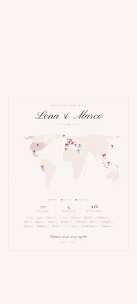
The complete gift
Make it a complete gift
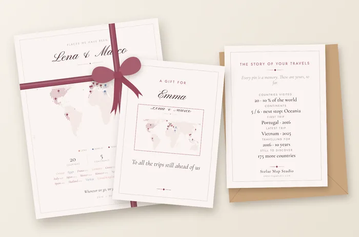
From your same map: a gift card with the story of your travels (countries, continents, years and first trip) and a phone wallpaper.
- Your travel map, ready to print and frame
- A5 gift card with their name and your message
- Phone wallpaper
Add them after you buy your map: €2.99 each or €3.99 for both.

What their card says
- Their name and your message
- The countries visited and how much of the world they have seen
- The continents, and which one is the next challenge
- Their first and latest trip, with the year
- How many years they have been travelling, and how many countries are left
Based on the countries and years you mark on your map. It’s an A5 postcard printed on both sides, ready to print.
How to make a map of the countries you’ve visited
Mark your countries
Type a country and press Enter, or tap it on the map. Add the year of each trip if you like, and who went, for a couple.
Choose the design
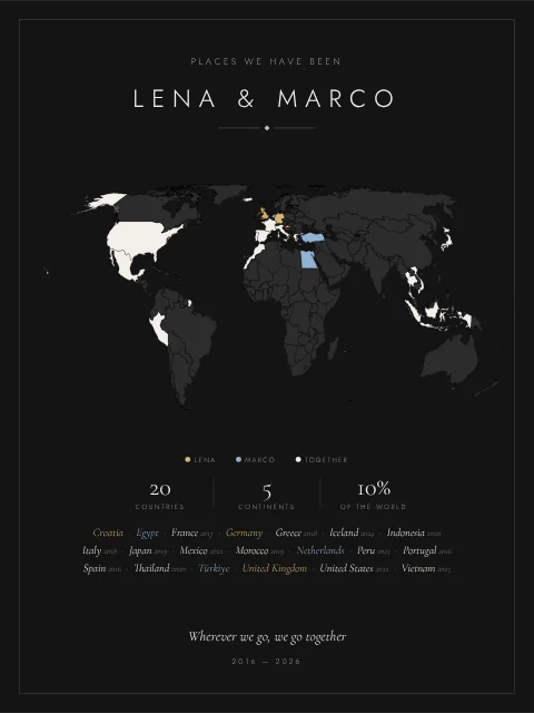
A world map in solid color, dots or fine line, with pins or color; a collection of flags in five shapes; or both together.
Pay and download
When payment is done, a button brings you back to this page and you download your file at 300 dpi, ready to print and frame.
Travel map templates
Every template opens in the editor with your own countries. Tap one to start from it.
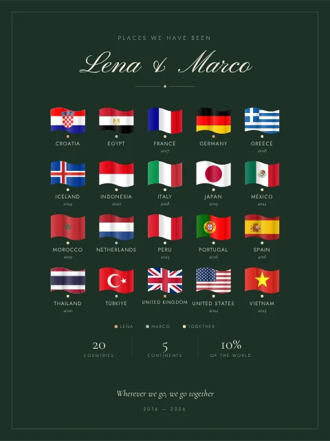
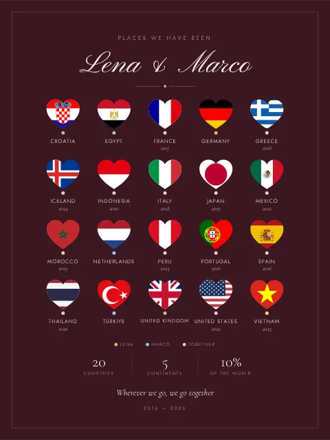
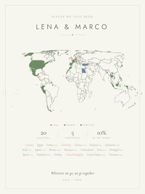
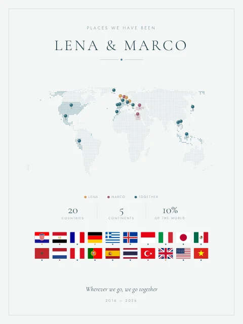
See your travel map framed
Before you buy, see your own design on a mantelpiece, on a shelf or in a living room, in a frame like the ones you’d hang at home.
Styled example: the frame is not included.
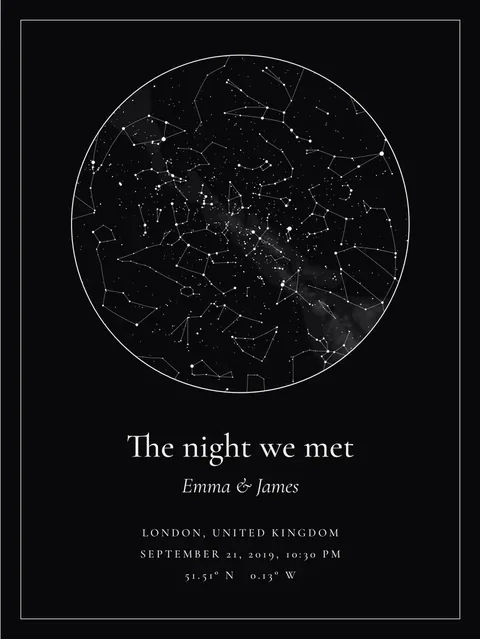
Pair it with the stars of the night it all began
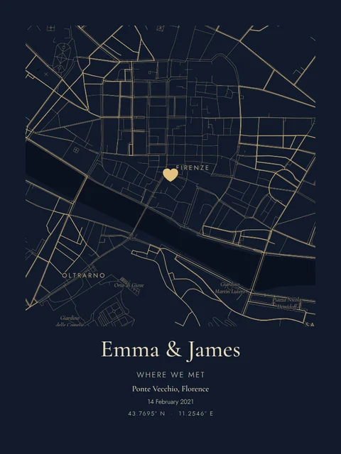
Where you’ve been, next to where it started: a star map with the real sky of the night you met, or a map of the place where you met. Same studio, same instant download.
A world map of the countries you’ve visited, with pins
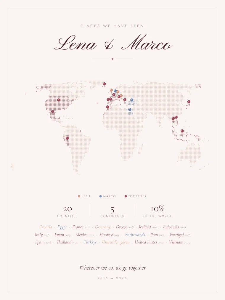
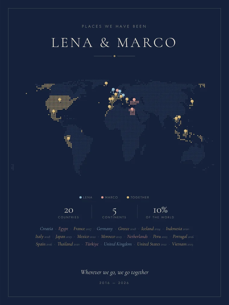
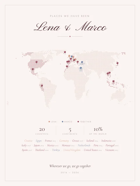
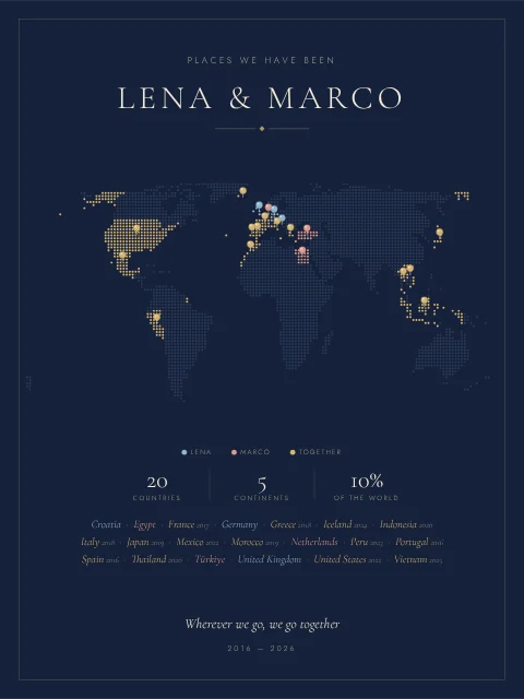
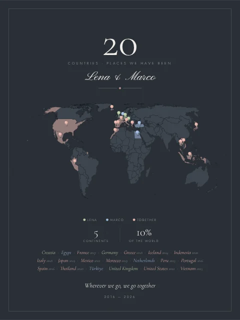
Pins are the classic way to show where you’ve been: each country you mark gets its own little pin, placed on the main land of the country, so the one for the United States sits in the lower 48 and not in Alaska. Prefer color? Fill the countries instead, or use both: a soft tint and a pin on top.
The pins can follow your palette, change color by continent, mix the tones of your palette or be chosen one by one, so the place where you got engaged can stand out in gold.
A world map with flags of the countries you’ve been to
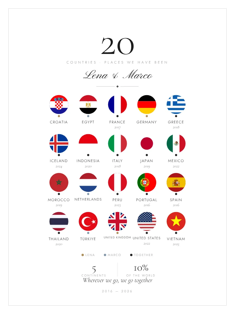
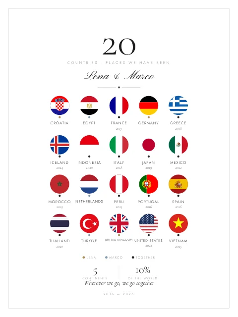
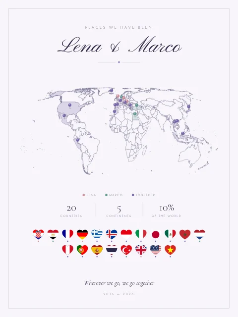
For people who have traveled a lot, a grid of flags looks better than a map half covered in color. Choose round, square, rectangular, heart-shaped or waving flags, with the name and year under each one or as a list at the bottom of the print.
You can also combine both: the map at the top and a row of flags underneath.
A couples travel map: places we’ve been
Choose the couple edition and mark who went where: your countries, theirs and the ones you discovered together, each in its own color with a small legend. It is a lovely anniversary or honeymoon gift. See the couples travel map for ideas.
A gift for someone who loves to travel
A personalized travel map is one of the few gifts a frequent traveler doesn’t already have, and because it is a digital download it arrives on time even on December 24. More ideas in our guide to gifts for travelers.
Frequently asked questions: travel map
Can I show flags instead of a map?
Yes. Choose “Flags” in the design step and every country you mark appears as its flag, in a round, square, rectangular, heart or waving shape, with its name and year. “Map + flags” shows both.
Can I mark the countries with pins?
Yes. You can mark each country with a pin, fill it with color, or both. The pins can be one color, a color per continent, a mix of your palette or a color you choose for each country.
Can I add the year I visited each country?
Yes. In your list, type the year next to each country. The year appears on the print, and you can order the countries alphabetically or by the year you visited.
Which countries can I mark?
Over 230 countries and territories, including small ones such as Malta, Singapore or the Maldives, which get a pin or a dot so they stay visible. There is also a map of the 50 US states.
Can we make a map of the places we’ve been as a couple?
Yes. In the couple edition you can say who went to each country, and the print shows your countries, your partner’s and the ones you visited together, each in its own color.
What exactly do I get?
A file at 300 dpi, in PNG and PDF, in the print size you choose: A4, A3, A2, 50 × 70 cm, US Letter, 8 × 10, 11 × 14, 16 × 20 or 18 × 24 in. Print it at home, at a copy shop or online. Nothing physical is shipped and the frame is not included.
Can I fix a mistake after paying?
Yes. Before you download we ask you to check the names, years and places. If you spot a mistake afterwards, write to stelarmapstudio@gmail.com and we will send you the corrected file.
Is there a guarantee?
Yes. If the file fails or you can’t download it, write to stelarmapstudio@gmail.com and we will send it to you. Because it is a made-to-order digital file, it can’t be returned for a change of mind once downloaded, which is why you see the full preview before you pay.
Map data: Natural Earth (public domain). Flags: flag-icons (MIT license).